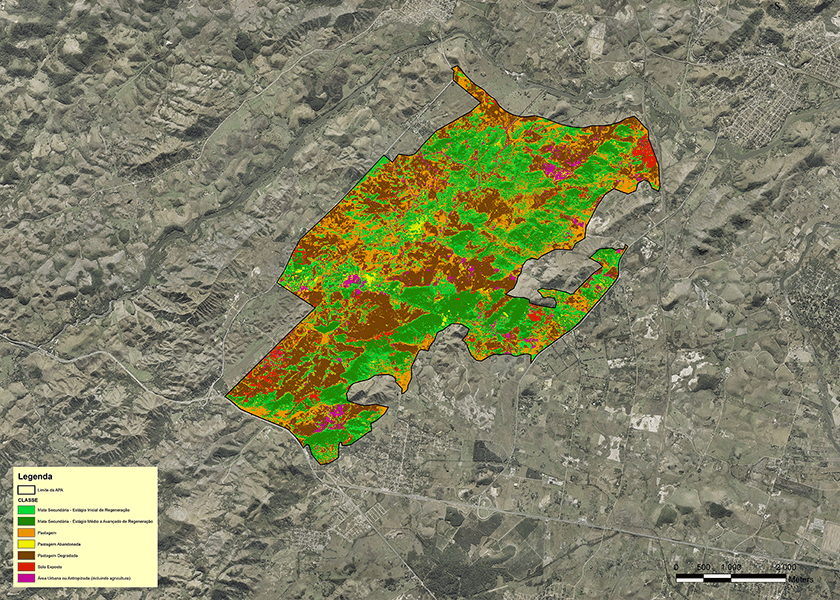
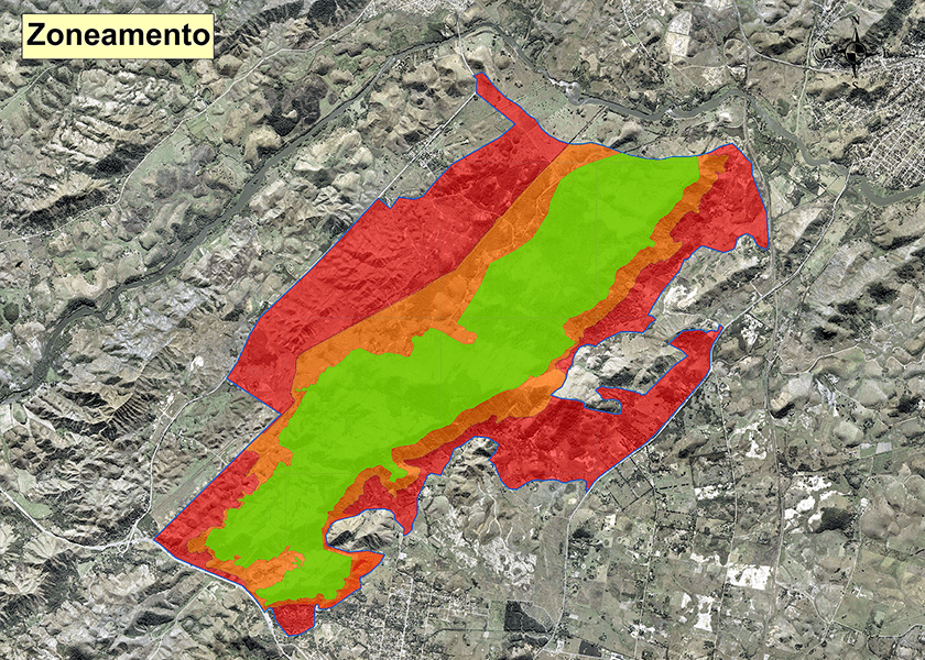
Geoprocessing is computer based geo-referenced data processsing that integrates data from several disciplines such as engeneering, geology, mining, and the environment. This specialized software allows the user of geo-refered information, (digial maps, satalite images, final pit serveys, and reforestation data), to obtain a complete analysis of mining operations, as well as for an integrated view of all phases and processes. Geoprocessing can be used for several applications:
At Geoprime, geoprocessing is our tool integrating all activities into a single analytical work environment to better serve you.
Support to environmental zoning preparation ─ Treatment of satellite images ─ Survey and treatment of geographic data ─ View the final data on the Google Earth® platform and ArcGIS Online ─ Accurate and fast information exchange between field staff and office through an online cartographic base.


Development, implementation, and geographic information systems management ─ Construction of three-dimensional models based on the topographic elevation data ─ Slope map development ─ Integration of geological and exploratory data with topographic and aerial images ─ Creating, managing and updating the geospatial database.